GIS
Stands for "Geographic Information Systems."
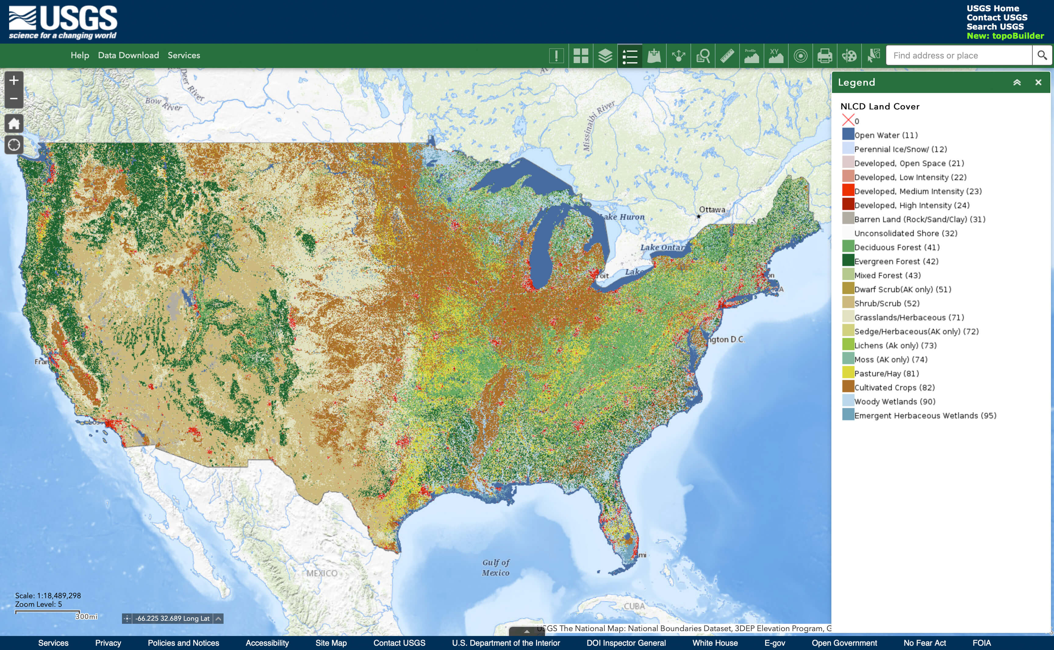
GIS systems are tools that gather, analyze, and display information about the surface of the earth. These systems chart data on a map, separated into distinct layers that can be analyzed to find patterns and identify trends. Researchers use GIS tools to create maps of physical features like elevation, tree cover, water, and roadways, as well as more abstract data like population density, traffic patterns, and climate trends.
A GIS system combines both hardware and software by using GPS-equipped sensors and measurement tools to collect data, which is input into the software system for analysis. Once the data is collected, the systems save each data type to a distinct layer. Layers can be overlaid on a map and analyzed for relationships between the physical features of the landscape and other data layers. Layers can present information using raster graphics like satellite and aerial photographs or vector graphics in the form of points, lines, and polygons.
Many businesses, research institutions, and government agencies use GIS systems for research and data analysis. For example, a GIS system can map seismic data as tracked by a series of sensors to locate the epicenter of an earthquake. Census-takers can use GIS systems to map changing population trends over time, while businesses can use their own GIS data to map where their customers come from to help choose a location for a new store.
 Test Your Knowledge